
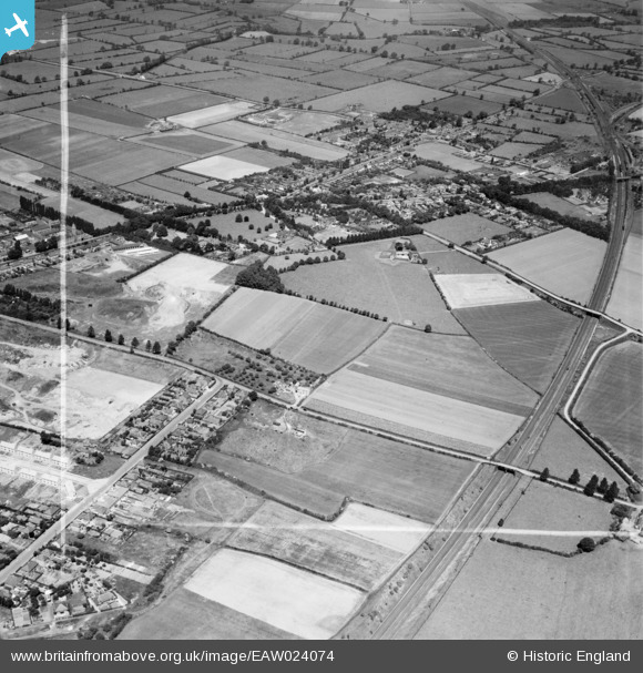
EAW024074 ENGLAND (1949). Barkby Thorpe Lane and environs, Thurmaston, 1949. This image was marked by Aerofilms Ltd for photo editing.
© Copyright OpenStreetMap contributors and licensed by the OpenStreetMap Foundation. 2026. Cartography is licensed as CC BY-SA.
Nearby Images (9)
EAW024074

EAW024077

EAW024076

EAW024073

EAW024075

EAW024069

EAW024067

EAW024068

EAW024070

Details
| Title | [EAW024074] Barkby Thorpe Lane and environs, Thurmaston, 1949. This image was marked by Aerofilms Ltd for photo editing. |
| Reference | EAW024074 |
| Date | 21-June-1949 |
| Link | |
| Place name | THURMASTON |
| Parish | THURMASTON |
| District | |
| Country | ENGLAND |
| Easting / Northing | 461833, 310237 |
| Longitude / Latitude | -1.085162499869, 52.685945761722 |
| National Grid Reference | SK618102 |
Pins

JCC |
Friday 31st of October 2014 11:07:07 PM |