
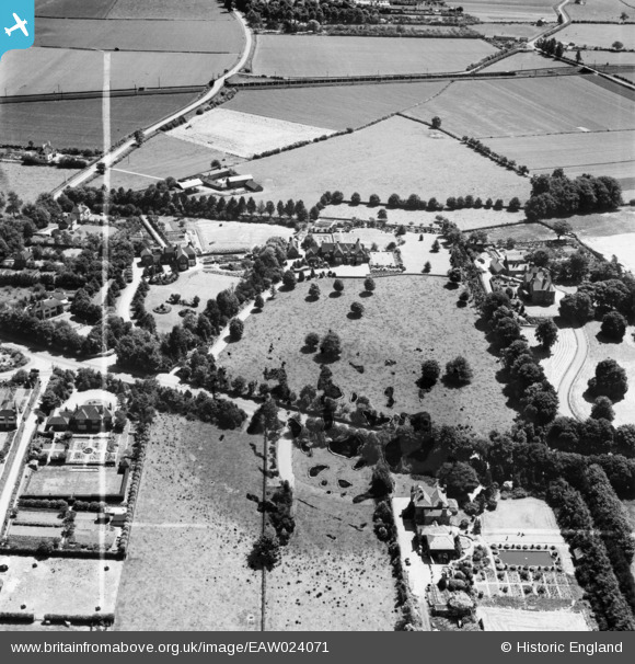
EAW024071 ENGLAND (1949). The Berrystead and Massingham, Syston, 1949. This image has been produced from a damaged negative.
© Copyright OpenStreetMap contributors and licensed by the OpenStreetMap Foundation. 2026. Cartography is licensed as CC BY-SA.
Nearby Images (9)
EAW024071

EAW024070

EAW024072

EAW024068

EAW024067

EAW024069

EAW024075

EAW024073

EAW024077

Details
| Title | [EAW024071] The Berrystead and Massingham, Syston, 1949. This image has been produced from a damaged negative. |
| Reference | EAW024071 |
| Date | 21-June-1949 |
| Link | |
| Place name | SYSTON |
| Parish | SYSTON |
| District | |
| Country | ENGLAND |
| Easting / Northing | 461623, 310497 |
| Longitude / Latitude | -1.0882203980873, 52.688306979894 |
| National Grid Reference | SK616105 |
Pins

John Wass |
Friday 27th of March 2015 04:19:14 PM |