
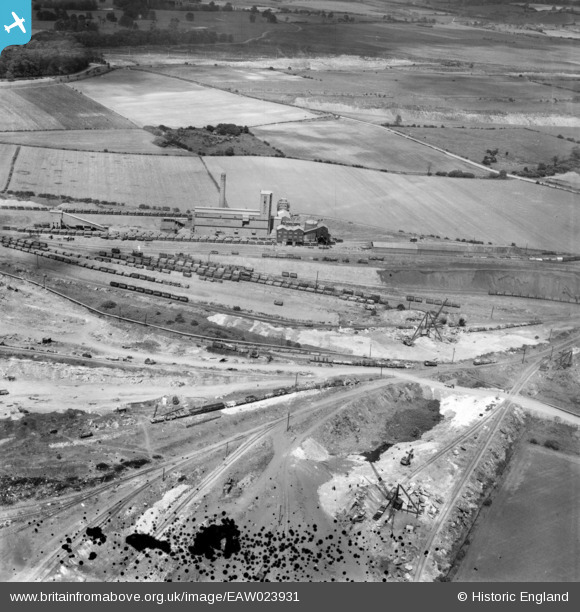
EAW023931 ENGLAND (1949). The northern end of the John Lysaght Normanby Park Steel Works, Scunthorpe, 1949. This image has been produced from a damaged negative.
© Copyright OpenStreetMap contributors and licensed by the OpenStreetMap Foundation. 2026. Cartography is licensed as CC BY-SA.
Nearby Images (34)
EAW023931

EAW019671

EAW009625

EAW041864

EAW019670

EAW009628

EAW041861

EAW041860

EAW009634

EAW021133

EAW031194

EAW019672

EAW027187

EAW021134

EAW023930

EAW031189

EAW009624

EAW041827

EAW041862

EAW019674

EAW023929

EAW009633

EAW034799

EAW028562

EAW049669

EPW048533

EAW028579

EAW028561

EAW028564

EAW016661

EAW028580

EAW028560

EAW028563

EAW031196

Details
| Title | [EAW023931] The northern end of the John Lysaght Normanby Park Steel Works, Scunthorpe, 1949. This image has been produced from a damaged negative. |
| Reference | EAW023931 |
| Date | 20-June-1949 |
| Link | |
| Place name | SCUNTHORPE |
| Parish | |
| District | |
| Country | ENGLAND |
| Easting / Northing | 488416, 414348 |
| Longitude / Latitude | -0.66320107723604, 53.617966245634 |
| National Grid Reference | SE884143 |
Pins
Be the first to add a comment to this image!