
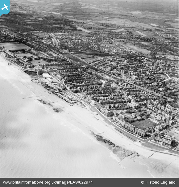
EAW022974 ENGLAND (1949). De La Warr Parade and the town, Bexhill, from the east, 1949
© Copyright OpenStreetMap contributors and licensed by the OpenStreetMap Foundation. 2026. Cartography is licensed as CC BY-SA.
Nearby Images (10)
EAW022974

EPW000708

EPW039351

EPW000121

EPW000741

EPW016888

EPW026223

EPW026228

EPW026224

EPW000124

Details
| Title | [EAW022974] De La Warr Parade and the town, Bexhill, from the east, 1949 |
| Reference | EAW022974 |
| Date | 6-May-1949 |
| Link | |
| Place name | BEXHILL |
| Parish | |
| District | |
| Country | ENGLAND |
| Easting / Northing | 574640, 107113 |
| Longitude / Latitude | 0.48052003849492, 50.836599134206 |
| National Grid Reference | TQ746071 |
Pins

John W |
Saturday 11th of June 2016 05:46:09 PM | |
|
John W |
Saturday 11th of June 2016 05:45:02 PM | |
|
John W |
Saturday 11th of June 2016 05:43:49 PM |