
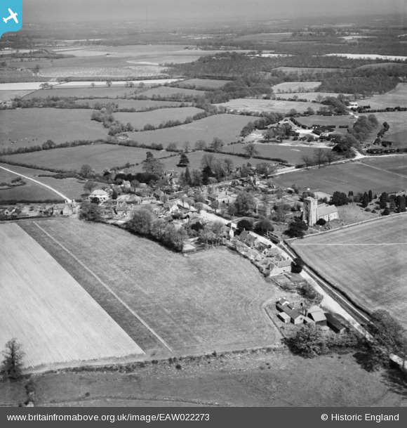
EAW022273 ENGLAND (1949). The village, Kirdford, from the south-west, 1949
© Copyright OpenStreetMap contributors and licensed by the OpenStreetMap Foundation. 2026. Cartography is licensed as CC BY-SA.
Nearby Images (4)
EAW022273

EAW022270

EAW022271

EAW022272

Details
| Title | [EAW022273] The village, Kirdford, from the south-west, 1949 |
| Reference | EAW022273 |
| Date | 18-April-1949 |
| Link | |
| Place name | KIRDFORD |
| Parish | KIRDFORD |
| District | |
| Country | ENGLAND |
| Easting / Northing | 501694, 126502 |
| Longitude / Latitude | -0.54968503878629, 51.028339649636 |
| National Grid Reference | TQ017265 |
Pins
Be the first to add a comment to this image!