
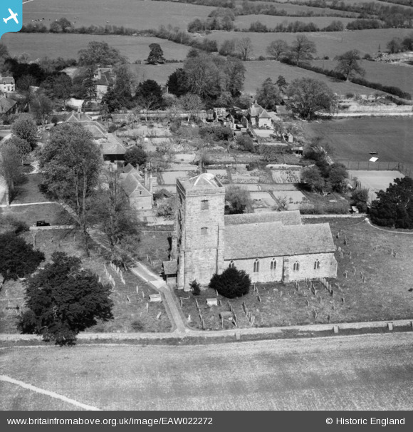
EAW022272 ENGLAND (1949). St John the Baptist's Church, Kirdford, 1949
© Copyright OpenStreetMap contributors and licensed by the OpenStreetMap Foundation. 2026. Cartography is licensed as CC BY-SA.
Nearby Images (4)
EAW022272

EAW022271

EAW022270

EAW022273

Details
| Title | [EAW022272] St John the Baptist's Church, Kirdford, 1949 |
| Reference | EAW022272 |
| Date | 18-April-1949 |
| Link | |
| Place name | KIRDFORD |
| Parish | KIRDFORD |
| District | |
| Country | ENGLAND |
| Easting / Northing | 501812, 126494 |
| Longitude / Latitude | -0.54800500048287, 51.028246832999 |
| National Grid Reference | TQ018265 |
Pins

Billy Turner |
Thursday 18th of February 2016 10:08:50 PM |
