
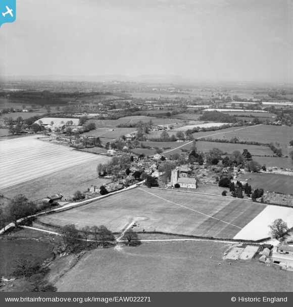
EAW022271 ENGLAND (1949). The village, Kirdford, from the south-east, 1949
© Copyright OpenStreetMap contributors and licensed by the OpenStreetMap Foundation. 2026. Cartography is licensed as CC BY-SA.
Nearby Images (4)
EAW022271

EAW022272

EAW022270

EAW022273

Details
| Title | [EAW022271] The village, Kirdford, from the south-east, 1949 |
| Reference | EAW022271 |
| Date | 18-April-1949 |
| Link | |
| Place name | KIRDFORD |
| Parish | KIRDFORD |
| District | |
| Country | ENGLAND |
| Easting / Northing | 501791, 126458 |
| Longitude / Latitude | -0.54831450174821, 51.027926900782 |
| National Grid Reference | TQ018265 |
