
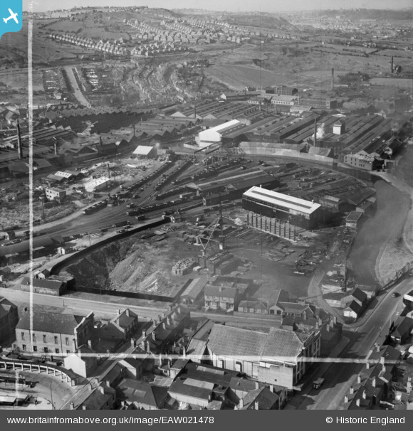
EAW021478 ENGLAND (1949). Oldbury Goods Station and environs, Oldbury, 1949. This image was marked by Aerofilms Ltd for photo editing.
© Copyright OpenStreetMap contributors and licensed by the OpenStreetMap Foundation. 2026. Cartography is licensed as CC BY-SA.
Nearby Images (31)
EAW021478

EPW046072

EAW021481

EAW021479

EAW021484

EPW046071

EAW021482

EAW021480

EPW046069

EPW046070

EAW021483

EPW046068

EAW021485

EPW048865

EPW048865A

EPW048860

EPW046083

EPW046084

EPW046079

EPW046081

EPW048865B

EPW046077

EPW046078

EPW048864

EPW046048

EPW048861

EPW048862

EPW046042

EPW046085

EPW046047

EPW046082

Details
| Title | [EAW021478] Oldbury Goods Station and environs, Oldbury, 1949. This image was marked by Aerofilms Ltd for photo editing. |
| Reference | EAW021478 |
| Date | 15-March-1949 |
| Link | |
| Place name | OLDBURY |
| Parish | |
| District | |
| Country | ENGLAND |
| Easting / Northing | 398654, 289624 |
| Longitude / Latitude | -2.0198319869192, 52.504146048813 |
| National Grid Reference | SO987896 |
