
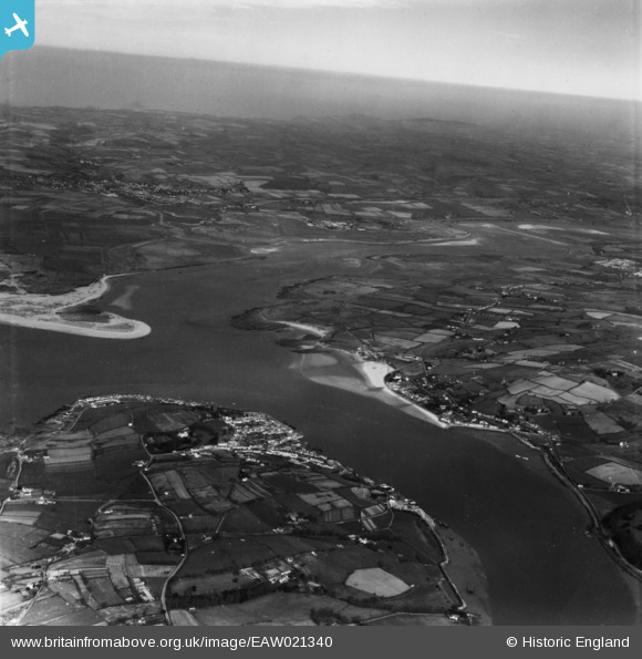
EAW021340 ENGLAND (1949). The River Torridge between Appledore and Instow, Appledore, from the south, 1949. This image has been produced from a print.
© Copyright OpenStreetMap contributors and licensed by the OpenStreetMap Foundation. 2026. Cartography is licensed as CC BY-SA.
Nearby Images (7)
EAW021340

EPW039899

EAW021336

EPW039898

EPW059622

EPW039896

EPW059621

Details
| Title | [EAW021340] The River Torridge between Appledore and Instow, Appledore, from the south, 1949. This image has been produced from a print. |
| Reference | EAW021340 |
| Date | 9-March-1949 |
| Link | |
| Place name | APPLEDORE |
| Parish | NORTHAM |
| District | |
| Country | ENGLAND |
| Easting / Northing | 246595, 130349 |
| Longitude / Latitude | -4.1889450757813, 51.051436653875 |
| National Grid Reference | SS466303 |
