
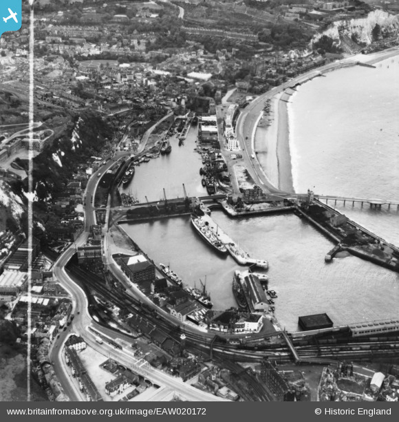
EAW020172 ENGLAND (1948). The Western Docks and environs, Dover, 1948. This image has been produced from a print marked by Aerofilms Ltd for photo editing.
© Copyright OpenStreetMap contributors and licensed by the OpenStreetMap Foundation. 2026. Cartography is licensed as CC BY-SA.
Nearby Images (17)
EAW020172

EAW020171

EAW020174

EAW020173

EAW020183

EAW020170

EAW020184

EAW020180

EAW020169

EAW020179

EPW019054

EAW020182

EAW007615

EAW020181

EPW000357

EAW020175

EAW020176

Details
| Title | [EAW020172] The Western Docks and environs, Dover, 1948. This image has been produced from a print marked by Aerofilms Ltd for photo editing. |
| Reference | EAW020172 |
| Date | 28-October-1948 |
| Link | |
| Place name | DOVER |
| Parish | DOVER |
| District | |
| Country | ENGLAND |
| Easting / Northing | 631858, 140768 |
| Longitude / Latitude | 1.3134178835975, 51.118678473027 |
| National Grid Reference | TR319408 |
Pins

John Wass |
Tuesday 14th of April 2020 03:39:12 PM |