
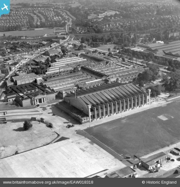
EAW018318 ENGLAND (1948). The Empire Pool, Wembley Park, 1948. This image has been produced from a print.
© Copyright OpenStreetMap contributors and licensed by the OpenStreetMap Foundation. 2026. Cartography is licensed as CC BY-SA.
Nearby Images (47)
EAW018318

EAW018319

EPW045945

EPW045703

EPW045944

EPW045946

EPW045943

EPW046237

EAW018317

EPW040771

EPW045706

EPR000224

EPW045705

EPW046236

EPW009547

EPW046239

EPW046235

EPW009602

EPR000222

EPW046238

EPW009545

EPR000223

EPW017624

EPW012752

EPW035047

EPW017625

EPW046906

EPW006967

EPW035045

EPW009806

EAW018316

EPW040769

EPW017623

EPW009807

EAW017619

EPW008242

EAW017620

EPW010848

EPW046914

EPW040768

EAW017618

EPW010735

EPW017632

EAW038566
 at Wembley Stadium, 1951. This image has been produced from a print.")
EPW008076
 under construction, Wembley Park, from the north-west, 1922. This image has been produced from a copy-negative.")
EAW048875

EPW007831

Details
| Title | [EAW018318] The Empire Pool, Wembley Park, 1948. This image has been produced from a print. |
| Reference | EAW018318 |
| Date | 24-August-1948 |
| Link | |
| Place name | WEMBLEY PARK |
| Parish | |
| District | |
| Country | ENGLAND |
| Easting / Northing | 519129, 185779 |
| Longitude / Latitude | -0.28136028320272, 51.557820626508 |
| National Grid Reference | TQ191858 |
Pins
Be the first to add a comment to this image!