
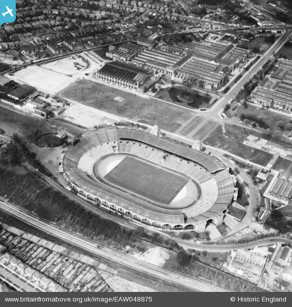
EAW048875 ENGLAND (1953). Wembley Stadium and the Palace of Industry, Wembley Park, 1953
© Copyright OpenStreetMap contributors and licensed by the OpenStreetMap Foundation. 2026. Cartography is licensed as CC BY-SA.
Nearby Images (48)
EPW046905

EPW017635

EAW048878

EPW046907

EPW020862

EPW026431

EPW026433

EAW018313

EAW038566
 at Wembley Stadium, 1951. This image has been produced from a print.")
EPW009655

EPW010456

EPW026438

EAW018311

EPW034581

EPW010461

EAW014141
 Stadium, Wembley Park, 1948. This image has been produced from a damaged negative.")
EPW010459

EAW017618

EAW018312

EPW010458

EPW010457

EPW017623

EPW010460

EAW017619

EPW046910

EAW038567
 at Wembley Stadium, 1951. This image has been produced from a print.")
EPW020341

EPW009652

EPW017625

EPW046914

EPW035048

EPW017624

EPW009602

EPW046906

EAW017620

EPW046239

EPW045706

EPW012752

EPW006967

EPW045943

EPW045944

EPW045703

EAW018319

EPR000224

EAW018318

EPW045946

EPW046237

EPW045945

Details
| Title | [EAW048875] Wembley Stadium and the Palace of Industry, Wembley Park, 1953 |
| Reference | EAW048875 |
| Date | 29-April-1953 |
| Link | |
| Place name | WEMBLEY PARK |
| Parish | |
| District | |
| Country | ENGLAND |
| Easting / Northing | 519322, 185534 |
| Longitude / Latitude | -0.27866043322796, 51.555577677448 |
| National Grid Reference | TQ193855 |
Pins

The Laird |
Wednesday 29th of April 2015 01:02:09 PM |