
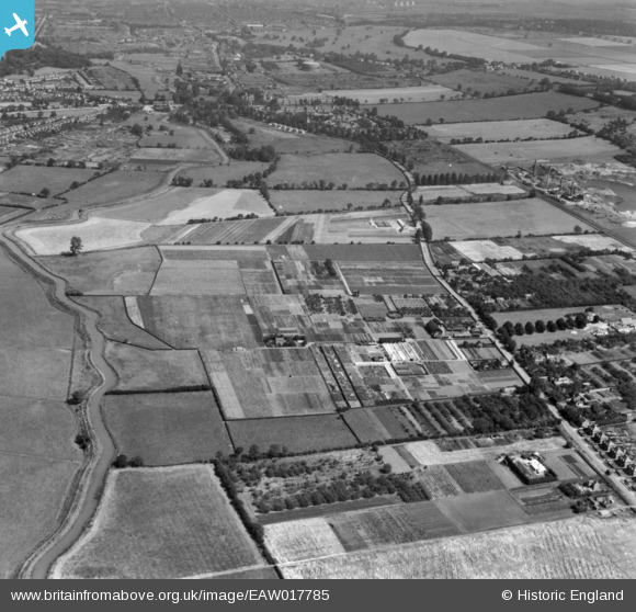
EAW017785 ENGLAND (1948). Nurseries at Bracebridge Low Fields and the surrounding countryside, Lincoln, 1948. This image has been produced from a print.
© Copyright OpenStreetMap contributors and licensed by the OpenStreetMap Foundation. 2026. Cartography is licensed as CC BY-SA.
Nearby Images (9)
EAW017785

EAW017784

EAW017788

EAW017794

EAW017789

EAW017786

EAW017793

EAW017795

EAW017790

Details
| Title | [EAW017785] Nurseries at Bracebridge Low Fields and the surrounding countryside, Lincoln, 1948. This image has been produced from a print. |
| Reference | EAW017785 |
| Date | 28-July-1948 |
| Link | |
| Place name | LINCOLN |
| Parish | |
| District | |
| Country | ENGLAND |
| Easting / Northing | 496345, 366867 |
| Longitude / Latitude | -0.5578644391868, 53.189868660758 |
| National Grid Reference | SK963669 |
