
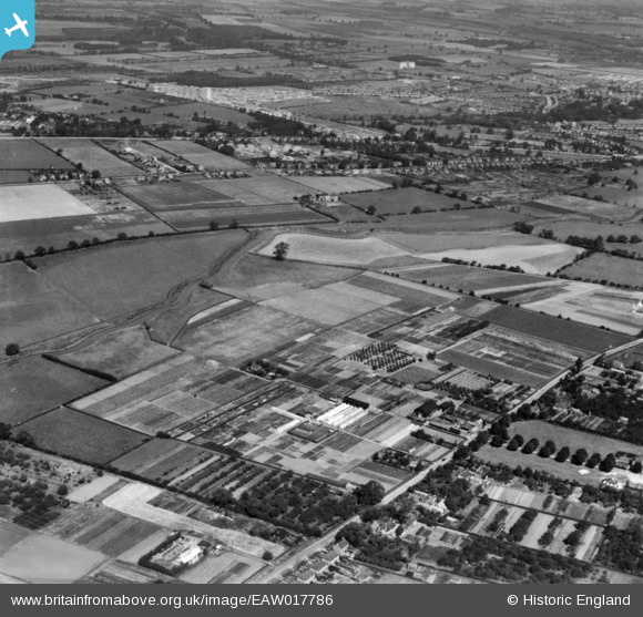
EAW017786 ENGLAND (1948). Nurseries at Bracebridge Low Fields and the surrounding countryside, Lincoln, 1948. This image has been produced from a print.
© Copyright OpenStreetMap contributors and licensed by the OpenStreetMap Foundation. 2026. Cartography is licensed as CC BY-SA.
Nearby Images (5)
EAW017786

EAW017788

EAW017784

EAW017785

EAW017791

Details
| Title | [EAW017786] Nurseries at Bracebridge Low Fields and the surrounding countryside, Lincoln, 1948. This image has been produced from a print. |
| Reference | EAW017786 |
| Date | 28-July-1948 |
| Link | |
| Place name | LINCOLN |
| Parish | |
| District | |
| Country | ENGLAND |
| Easting / Northing | 496191, 367008 |
| Longitude / Latitude | -0.56012632429508, 53.191163714032 |
| National Grid Reference | SK962670 |
Pins

Doug |
Monday 9th of February 2026 10:04:16 PM | |
|
Doug |
Thursday 29th of January 2026 10:03:16 PM | |
|
Keefffff |
Tuesday 13th of August 2024 10:02:20 AM | |
|
Graham Yaxley |
Monday 16th of February 2015 06:21:15 PM |