
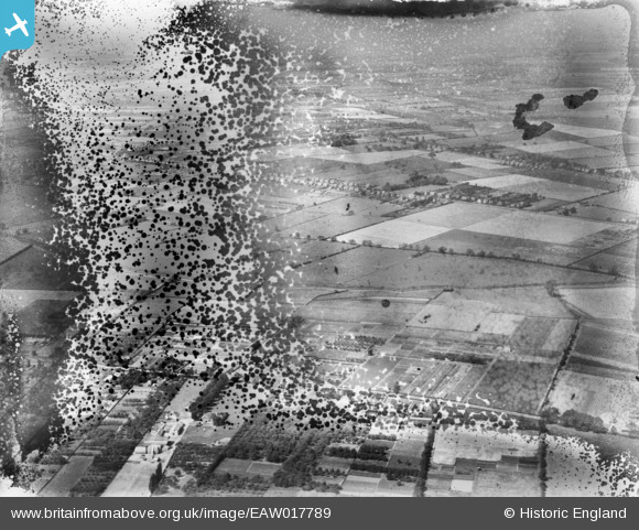
EAW017789 ENGLAND (1948). Nurseries at Bracebridge Low Fields and the surrounding countryside, Lincoln, from the east, 1948. This image has been produced from a damaged negative.
© Copyright OpenStreetMap contributors and licensed by the OpenStreetMap Foundation. 2026. Cartography is licensed as CC BY-SA.
Nearby Images (7)
EAW017789

EAW017790

EAW017785

EAW017784

EAW017794

EAW017795

EAW017787

Details
| Title | [EAW017789] Nurseries at Bracebridge Low Fields and the surrounding countryside, Lincoln, from the east, 1948. This image has been produced from a damaged negative. |
| Reference | EAW017789 |
| Date | 28-July-1948 |
| Link | |
| Place name | LINCOLN |
| Parish | |
| District | |
| Country | ENGLAND |
| Easting / Northing | 496514, 366789 |
| Longitude / Latitude | -0.55535921558149, 53.189137029124 |
| National Grid Reference | SK965668 |
Pins
Be the first to add a comment to this image!