
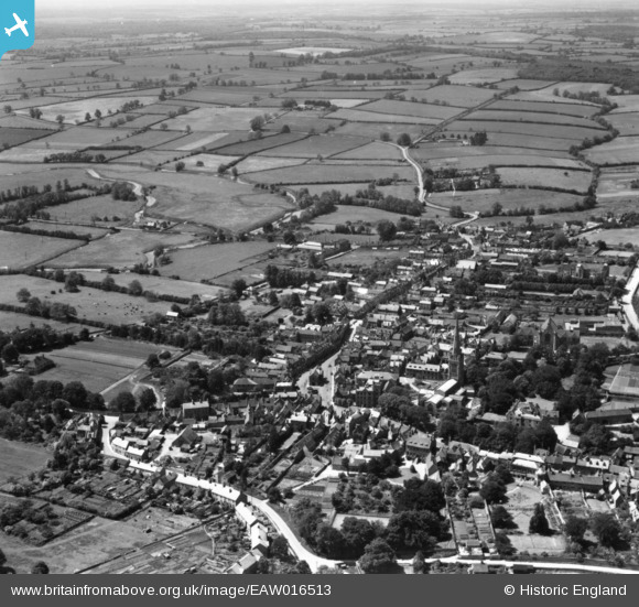
EAW016513 ENGLAND (1948). The town, Oundle, from the north-east, 1948. This image has been produced from a print.
© Copyright OpenStreetMap contributors and licensed by the OpenStreetMap Foundation. 2026. Cartography is licensed as CC BY-SA.
Nearby Images (6)
EAW016513

EAW016516

EAW015473

EPW039177

EPW039180

EPW039182

Details
| Title | [EAW016513] The town, Oundle, from the north-east, 1948. This image has been produced from a print. |
| Reference | EAW016513 |
| Date | 9-November-1948 |
| Link | |
| Place name | OUNDLE |
| Parish | OUNDLE |
| District | |
| Country | ENGLAND |
| Easting / Northing | 504186, 288099 |
| Longitude / Latitude | -0.46569808212276, 52.480487587757 |
| National Grid Reference | TL042881 |
Pins
Be the first to add a comment to this image!