
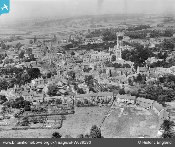
EPW039180 ENGLAND (1932). St Peter's Church and the town centre, Oundle, from the east, 1932
© Copyright OpenStreetMap contributors and licensed by the OpenStreetMap Foundation. 2026. Cartography is licensed as CC BY-SA.
Nearby Images (3)
EPW039180

EAW016513

EAW016516

Details
| Title | [EPW039180] St Peter's Church and the town centre, Oundle, from the east, 1932 |
| Reference | EPW039180 |
| Date | July-1932 |
| Link | |
| Place name | OUNDLE |
| Parish | OUNDLE |
| District | |
| Country | ENGLAND |
| Easting / Northing | 504402, 288092 |
| Longitude / Latitude | -0.46252058088645, 52.480383387539 |
| National Grid Reference | TL044881 |
Pins
Be the first to add a comment to this image!