
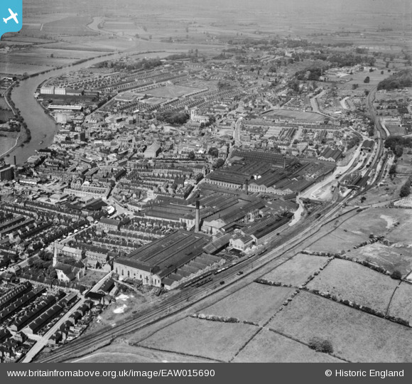
EAW015690 ENGLAND (1948). The Britannia Engineering Works and the town, Gainsborough, 1948
© Copyright OpenStreetMap contributors and licensed by the OpenStreetMap Foundation. 2026. Cartography is licensed as CC BY-SA.
Nearby Images (22)
EAW015690

EAW015688

EAW015693

EAW015695

EPW062190

EPW062187

EPW062186

EPW062185

EAW015687

EAW015694

EPW016158

EPW062206

EPW062189

EPW062188

EAW015691

EAW015689

EPW016160

EAW015692

EAW015696
 and environs, Gainsborough, from the west, 1948. This image has been produced from a damaged negative.")
EPW062210

EPW062191

EPW016162

Details
| Title | [EAW015690] The Britannia Engineering Works and the town, Gainsborough, 1948 |
| Reference | EAW015690 |
| Date | 13-May-1948 |
| Link | |
| Place name | GAINSBOROUGH |
| Parish | GAINSBOROUGH |
| District | |
| Country | ENGLAND |
| Easting / Northing | 481715, 389746 |
| Longitude / Latitude | -0.77090385411021, 53.397947549351 |
| National Grid Reference | SK817897 |
Pins
Be the first to add a comment to this image!