
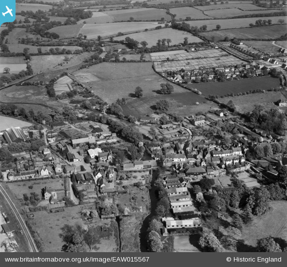
EAW015567 ENGLAND (1948). The village, Wheathampstead, 1948
© Copyright OpenStreetMap contributors and licensed by the OpenStreetMap Foundation. 2026. Cartography is licensed as CC BY-SA.
Nearby Images (17)
EAW015567

EAW047667

EAW015565

EAW015564

EAW015566

EAW015568

EAW047664

EAW047665

EAW047662

EAW047668

EAW047669

EAW047658

EAW047663

EAW047666

EAW047659

EAW000869

EAW047660

Details
| Title | [EAW015567] The village, Wheathampstead, 1948 |
| Reference | EAW015567 |
| Date | 13-May-1948 |
| Link | |
| Place name | WHEATHAMPSTEAD |
| Parish | WHEATHAMPSTEAD |
| District | |
| Country | ENGLAND |
| Easting / Northing | 517890, 214121 |
| Longitude / Latitude | -0.28965139306194, 51.812825535392 |
| National Grid Reference | TL179141 |
Pins

John W |
Sunday 5th of March 2017 08:46:35 PM | |
|
lynton cox |
Monday 22nd of June 2015 07:34:09 PM | |
|
lynton cox |
Monday 2nd of February 2015 02:17:23 PM |