
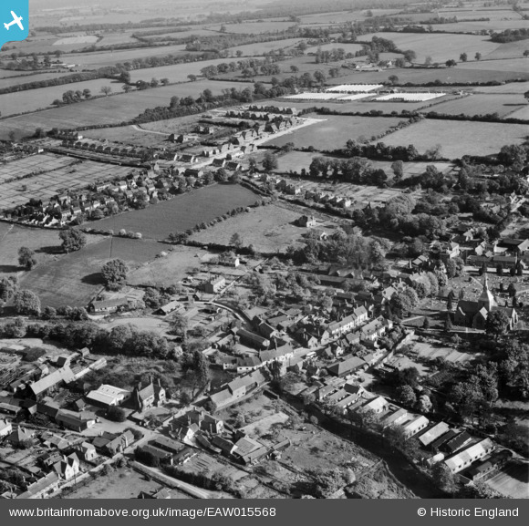
EAW015568 ENGLAND (1948). The village, Wheathampstead, 1948
© Copyright OpenStreetMap contributors and licensed by the OpenStreetMap Foundation. 2026. Cartography is licensed as CC BY-SA.
Nearby Images (8)
EAW015568

EAW015566

EAW015564

EAW015565

EAW015567

EAW047667

EAW000869

EAW000870

Details
| Title | [EAW015568] The village, Wheathampstead, 1948 |
| Reference | EAW015568 |
| Date | 13-May-1948 |
| Link | |
| Place name | WHEATHAMPSTEAD |
| Parish | WHEATHAMPSTEAD |
| District | |
| Country | ENGLAND |
| Easting / Northing | 517865, 213975 |
| Longitude / Latitude | -0.29006359574263, 51.811518557633 |
| National Grid Reference | TL179140 |
Pins

lynton cox |
Monday 2nd of February 2015 02:19:02 PM |