
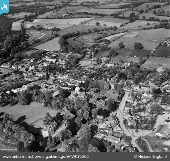
EAW015565 ENGLAND (1948). St Helen's Church and the village, Wheathampstead, 1948
© Copyright OpenStreetMap contributors and licensed by the OpenStreetMap Foundation. 2026. Cartography is licensed as CC BY-SA.
Nearby Images (13)
EAW015565

EAW015564

EAW015566

EAW015567

EAW015568

EAW047667

EAW000869

EAW000870

EAW047664

EAW047665

EAW047669

EAW047662

EAW047668

Details
| Title | [EAW015565] St Helen's Church and the village, Wheathampstead, 1948 |
| Reference | EAW015565 |
| Date | 13-May-1948 |
| Link | |
| Place name | WHEATHAMPSTEAD |
| Parish | WHEATHAMPSTEAD |
| District | |
| Country | ENGLAND |
| Easting / Northing | 517775, 214073 |
| Longitude / Latitude | -0.29133533263667, 51.812418357375 |
| National Grid Reference | TL178141 |
Pins
Be the first to add a comment to this image!