
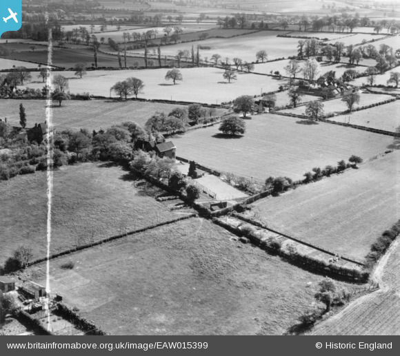
EAW015399 ENGLAND (1948). Shore Croft and environs, Hatherton, 1948. This image has been produced from a print marked by Aerofilms Ltd for photo editing.
© Copyright OpenStreetMap contributors and licensed by the OpenStreetMap Foundation. 2026. Cartography is licensed as CC BY-SA.
Nearby Images (8)
EAW015399

EAW015393

EAW015396

EAW015395

EAW015394

EAW015397

EAW015398

EAW015400

Details
| Title | [EAW015399] Shore Croft and environs, Hatherton, 1948. This image has been produced from a print marked by Aerofilms Ltd for photo editing. |
| Reference | EAW015399 |
| Date | 6-May-1948 |
| Link | |
| Place name | HATHERTON |
| Parish | HATHERTON |
| District | |
| Country | ENGLAND |
| Easting / Northing | 396653, 310559 |
| Longitude / Latitude | -2.0495265566313, 52.692360342097 |
| National Grid Reference | SJ967106 |
Pins
Be the first to add a comment to this image!