
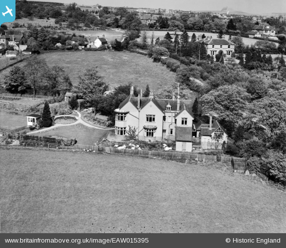
EAW015395 ENGLAND (1948). Shore Croft on Sandy Lane, Hatherton, 1948
© Copyright OpenStreetMap contributors and licensed by the OpenStreetMap Foundation. 2026. Cartography is licensed as CC BY-SA.
Nearby Images (8)
EAW015395

EAW015399

EAW015393

EAW015396

EAW015397

EAW015394

EAW015398

EAW015400

Details
| Title | [EAW015395] Shore Croft on Sandy Lane, Hatherton, 1948 |
| Reference | EAW015395 |
| Date | 6-May-1948 |
| Link | |
| Place name | HATHERTON |
| Parish | HATHERTON |
| District | |
| Country | ENGLAND |
| Easting / Northing | 396669, 310540 |
| Longitude / Latitude | -2.0492896075823, 52.69218961782 |
| National Grid Reference | SJ967105 |
Pins
Be the first to add a comment to this image!