
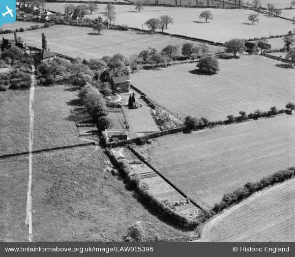
EAW015396 ENGLAND (1948). Shore Croft on Sandy Lane, Hatherton, 1948. This image was marked by Aerofilms Ltd for photo editing.
© Copyright OpenStreetMap contributors and licensed by the OpenStreetMap Foundation. 2026. Cartography is licensed as CC BY-SA.
Nearby Images (8)
EAW015396

EAW015393

EAW015399

EAW015394

EAW015395

EAW015398

EAW015397

EAW015400

Details
| Title | [EAW015396] Shore Croft on Sandy Lane, Hatherton, 1948. This image was marked by Aerofilms Ltd for photo editing. |
| Reference | EAW015396 |
| Date | 6-May-1948 |
| Link | |
| Place name | HATHERTON |
| Parish | HATHERTON |
| District | |
| Country | ENGLAND |
| Easting / Northing | 396651, 310575 |
| Longitude / Latitude | -2.0495563140927, 52.692504180627 |
| National Grid Reference | SJ967106 |
Pins
Be the first to add a comment to this image!