
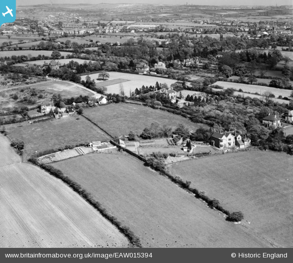
EAW015394 ENGLAND (1948). Shore Croft and environs, Hatherton, from the west, 1948
© Copyright OpenStreetMap contributors and licensed by the OpenStreetMap Foundation. 2026. Cartography is licensed as CC BY-SA.
Nearby Images (8)
EAW015394

EAW015396

EAW015400

EAW015393

EAW015399

EAW015398

EAW015397

EAW015395

Details
| Title | [EAW015394] Shore Croft and environs, Hatherton, from the west, 1948 |
| Reference | EAW015394 |
| Date | 6-May-1948 |
| Link | |
| Place name | HATHERTON |
| Parish | HATHERTON |
| District | |
| Country | ENGLAND |
| Easting / Northing | 396645, 310598 |
| Longitude / Latitude | -2.0496453326947, 52.692710929139 |
| National Grid Reference | SJ966106 |
Pins
Be the first to add a comment to this image!