
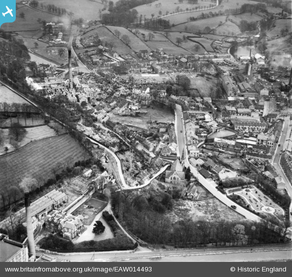
EAW014493 ENGLAND (1948). Palmerston Street and environs, Bollington, 1948. This image has been produced from a damaged negative.
© Copyright OpenStreetMap contributors and licensed by the OpenStreetMap Foundation. 2026. Cartography is licensed as CC BY-SA.
Nearby Images (12)
EAW014493

EPW034221

EAW014494

EAW014492

EPW034226

EAW049655

EAW049649

EAW049650

EAW049652

EAW049648

EAW049653

EAW049651

Details
| Title | [EAW014493] Palmerston Street and environs, Bollington, 1948. This image has been produced from a damaged negative. |
| Reference | EAW014493 |
| Date | 14-April-1948 |
| Link | |
| Place name | BOLLINGTON |
| Parish | BOLLINGTON |
| District | |
| Country | ENGLAND |
| Easting / Northing | 393669, 377940 |
| Longitude / Latitude | -2.0950018707823, 53.298103201084 |
| National Grid Reference | SJ937779 |
