
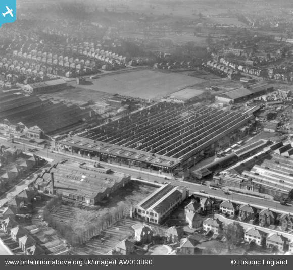
EAW013890 ENGLAND (1948). The Frigidaire Ltd Refrigerator Works and environs, Kingsbury, 1948. This image has been produced from a print.
© Copyright OpenStreetMap contributors and licensed by the OpenStreetMap Foundation. 2026. Cartography is licensed as CC BY-SA.
Nearby Images (38)
EAW013890

EAW013880

EAW013879

EAW013886

EAW013878

EAW013885

EAW013891

EPW019304

EPW019300

EPW019298

EPW019297

EAW013884

EAW013888

EPW019296

EPW019303

EPW019301

EAW013889

EPW019299

EAW013883

EAW013887

EAW013877

EPR000508

EAW051385

EPW017585

EAW051384

EAW051382

EAW044040

EPW024761

EPW055945

EAW044039

EPW055948

EPW024932

EAW051379

EAW051380

EAW051378

EAW051381

EPW012748

EPW055949

Details
| Title | [EAW013890] The Frigidaire Ltd Refrigerator Works and environs, Kingsbury, 1948. This image has been produced from a print. |
| Reference | EAW013890 |
| Date | 18-March-1948 |
| Link | |
| Place name | KINGSBURY |
| Parish | |
| District | |
| Country | ENGLAND |
| Easting / Northing | 520529, 189799 |
| Longitude / Latitude | -0.25979313171469, 51.593655897379 |
| National Grid Reference | TQ205898 |
Pins

redmist |
Thursday 4th of February 2021 05:34:30 PM |