
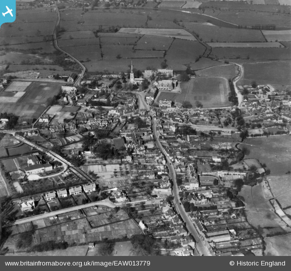
EAW013779 ENGLAND (1948). The village, Repton, 1948. This image has been produced from a print.
© Copyright OpenStreetMap contributors and licensed by the OpenStreetMap Foundation. 2026. Cartography is licensed as CC BY-SA.
Nearby Images (11)
EAW013779

EPW020933

EPW020934

EAW013780

EPW019702

EAW013777

EPW019699

EPW020935

EPW019700

EAW013778

EPW019698

Details
| Title | [EAW013779] The village, Repton, 1948. This image has been produced from a print. |
| Reference | EAW013779 |
| Date | 11-March-1948 |
| Link | |
| Place name | REPTON |
| Parish | REPTON |
| District | |
| Country | ENGLAND |
| Easting / Northing | 430413, 326924 |
| Longitude / Latitude | -1.5484578759961, 52.838642760824 |
| National Grid Reference | SK304269 |
Pins
Be the first to add a comment to this image!