
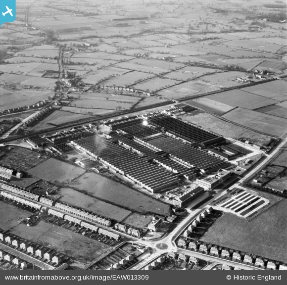
EAW013309 ENGLAND (1948). Rolls Royce Factory off Pym's Lane, Crewe, 1948
© Copyright OpenStreetMap contributors and licensed by the OpenStreetMap Foundation. 2026. Cartography is licensed as CC BY-SA.
Nearby Images (7)
EAW013309

EAW013310

EAW013311

EAW013301

EAW013308

EAW013302

EAW013304

Details
| Title | [EAW013309] Rolls Royce Factory off Pym's Lane, Crewe, 1948 |
| Reference | EAW013309 |
| Date | 12-February-1948 |
| Link | |
| Place name | CREWE |
| Parish | |
| District | |
| Country | ENGLAND |
| Easting / Northing | 368394, 356367 |
| Longitude / Latitude | -2.4721296143281, 53.103265410405 |
| National Grid Reference | SJ684564 |

