
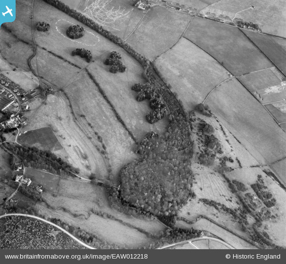
EAW012218 ENGLAND (1947). Conigree Wood, Rendcomb, 1947
© Copyright OpenStreetMap contributors and licensed by the OpenStreetMap Foundation. 2026. Cartography is licensed as CC BY-SA.
Nearby Images (8)
EAW012218

EAW012214

EAW012216

EAW012212

EAW012217

EAW012215

EAW012219

EAW012213

Details
| Title | [EAW012218] Conigree Wood, Rendcomb, 1947 |
| Reference | EAW012218 |
| Date | 17-November-1947 |
| Link | |
| Place name | RENDCOMB |
| Parish | RENDCOMB |
| District | |
| Country | ENGLAND |
| Easting / Northing | 402108, 209140 |
| Longitude / Latitude | -1.9694400725493, 51.780469990555 |
| National Grid Reference | SP021091 |
Pins

Jed |
Sunday 25th of October 2015 02:54:23 PM |
