
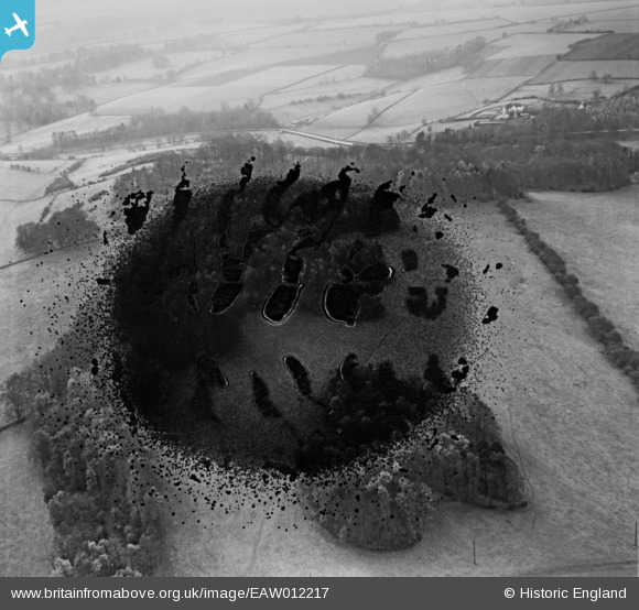
EAW012217 ENGLAND (1947). Conigree Wood, Rendcomb, 1947. This image has been produced from a damaged negative.
© Copyright OpenStreetMap contributors and licensed by the OpenStreetMap Foundation. 2026. Cartography is licensed as CC BY-SA.
Nearby Images (8)
EAW012217

EAW012212

EAW012213

EAW012218

EAW012215

EAW012214

EAW012216

EAW012219

Details
| Title | [EAW012217] Conigree Wood, Rendcomb, 1947. This image has been produced from a damaged negative. |
| Reference | EAW012217 |
| Date | 17-November-1947 |
| Link | |
| Place name | RENDCOMB |
| Parish | RENDCOMB |
| District | |
| Country | ENGLAND |
| Easting / Northing | 402257, 209214 |
| Longitude / Latitude | -1.9672795208174, 51.781134822798 |
| National Grid Reference | SP023092 |
Pins
Be the first to add a comment to this image!