
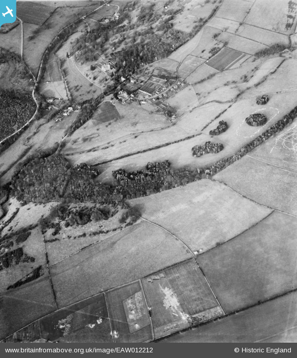
EAW012212 ENGLAND (1947). Conigree Wood, Rendcomb, 1947
© Copyright OpenStreetMap contributors and licensed by the OpenStreetMap Foundation. 2026. Cartography is licensed as CC BY-SA.
Nearby Images (8)
EAW012212

EAW012217

EAW012215

EAW012218

EAW012213

EAW012214

EAW012216

EAW012219

Details
| Title | [EAW012212] Conigree Wood, Rendcomb, 1947 |
| Reference | EAW012212 |
| Date | 17-November-1947 |
| Link | |
| Place name | RENDCOMB |
| Parish | RENDCOMB |
| District | |
| Country | ENGLAND |
| Easting / Northing | 402265, 209156 |
| Longitude / Latitude | -1.9671639207732, 51.780613250142 |
| National Grid Reference | SP023092 |
Pins

Laura Maddison |
Wednesday 16th of July 2014 03:42:42 PM |