
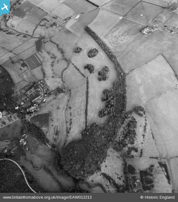
EAW012213 ENGLAND (1947). Conigree Wood, Rendcomb, 1947
© Copyright OpenStreetMap contributors and licensed by the OpenStreetMap Foundation. 2026. Cartography is licensed as CC BY-SA.
Nearby Images (6)
EAW012213

EAW012217

EAW012212

EAW012218

EAW012214

EAW012216

Details
| Title | [EAW012213] Conigree Wood, Rendcomb, 1947 |
| Reference | EAW012213 |
| Date | 17-November-1947 |
| Link | |
| Place name | RENDCOMB |
| Parish | RENDCOMB |
| District | |
| Country | ENGLAND |
| Easting / Northing | 402217, 209327 |
| Longitude / Latitude | -1.9678586920064, 51.782151087045 |
| National Grid Reference | SP022093 |
Pins
Be the first to add a comment to this image!