
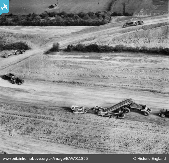
EAW011895 ENGLAND (1947). Opencast mining site to the north of the village, Smalley, 1947
© Copyright OpenStreetMap contributors and licensed by the OpenStreetMap Foundation. 2026. Cartography is licensed as CC BY-SA.
Nearby Images (48)
EAW011895

EAW011900

EAW011896

EAW011892

EAW011899

EAW011890

EAW011893

EAW011894

EAW011889

EAW011891

EAW012047

EAW018399

EAW011897

EAW011898

EAW018398

EAW012044

EAW018397

EAW018409

EAW012048

EAW018414

EAW018410

EAW011244

EAW017951

EAW018400

EAW017950

EAW011252

EAW025916

EAW017949

EAW025914

EAW017964

EAW025927

EAW017960

EAW025922

EAW012051

EAW012057

EAW012055

EAW025921

EAW012041

EAW012042

EAW025926

EAW011238

EAW011251

EAW012040

EAW017986

EAW025918

EAW012039

EAW018404

EAW017987

Details
| Title | [EAW011895] Opencast mining site to the north of the village, Smalley, 1947 |
| Reference | EAW011895 |
| Date | 15-October-1947 |
| Link | |
| Place name | SMALLEY |
| Parish | SMALLEY |
| District | |
| Country | ENGLAND |
| Easting / Northing | 441377, 345781 |
| Longitude / Latitude | -1.3832799314723, 53.007433054401 |
| National Grid Reference | SK414458 |
Pins
Be the first to add a comment to this image!
User Comment Contributions
View looking east. |

Class31 |
Thursday 9th of January 2014 02:30:08 PM |