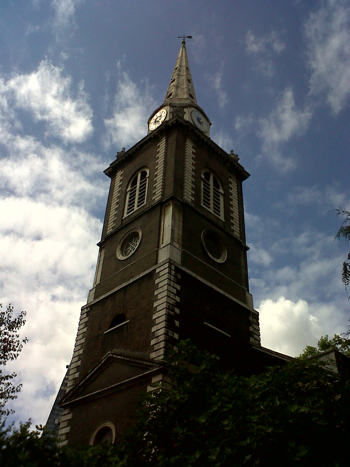
EAW011145 ENGLAND (1947). St Botolph's Church, Aldgate High Street and environs, London, 1947

© Copyright OpenStreetMap contributors and licensed by the OpenStreetMap Foundation. 2026. Cartography is licensed as CC BY-SA.
Nearby Images (15)
EAW011145

EAW011171

EAW021724

EPW045383

EAW048559

EPW045403

EAW004895

EAW011376

EAW011172

EAW011146

EAW011144

EAW011375

EAW025771

EPW005770

EAW011195
, Bury Street and environs, London, 1947")
Details
| Title | [EAW011145] St Botolph's Church, Aldgate High Street and environs, London, 1947 |
| Reference | EAW011145 |
| Date | 30-September-1947 |
| Link | |
| Place name | LONDON |
| Parish | |
| District | |
| Country | ENGLAND |
| Easting / Northing | 533573, 181173 |
| Longitude / Latitude | -0.074848484494899, 51.513188987628 |
| National Grid Reference | TQ336812 |
Pins

Neil Crossfield |
Wednesday 13th of August 2025 09:01:16 PM | |
|
theheadshed |
Tuesday 12th of May 2020 01:45:26 AM | |
|
brianbeckett |
Friday 3rd of October 2014 04:26:03 PM | |
|
brianbeckett |
Friday 3rd of October 2014 04:24:47 PM | |

Class31 |
Wednesday 23rd of July 2014 09:20:52 AM | |
|
Class31 |
Friday 13th of June 2014 09:05:39 AM | |
|
Class31 |
Friday 13th of June 2014 09:05:11 AM | |
|
Class31 |
Friday 13th of June 2014 09:03:35 AM | |
|
Class31 |
Friday 13th of June 2014 09:03:07 AM | |
|
Class31 |
Friday 13th of June 2014 09:01:28 AM | |
|
Class31 |
Thursday 12th of June 2014 10:05:56 AM | |
|
Class31 |
Thursday 12th of June 2014 10:05:36 AM | |
|
Class31 |
Wednesday 5th of February 2014 09:23:58 AM | |

Alan McFaden |
Thursday 7th of November 2013 02:34:27 PM |