
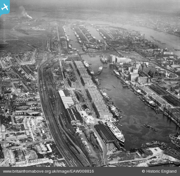
EAW008816 ENGLAND (1947). The Royal Docks, Canning Town, from the west, 1947
© Copyright OpenStreetMap contributors and licensed by the OpenStreetMap Foundation. 2026. Cartography is licensed as CC BY-SA.
Nearby Images (14)
EAW008816

EPW032933

EAW008819

EAW008820

EAW008826

EAW008821

EAW016655

EPW008889

EPW008886

EAW008823

EPW044120

EPW046150

EPW059456

EAW008824

Details
| Title | [EAW008816] The Royal Docks, Canning Town, from the west, 1947 |
| Reference | EAW008816 |
| Date | 9-August-1947 |
| Link | |
| Place name | CANNING TOWN |
| Parish | |
| District | |
| Country | ENGLAND |
| Easting / Northing | 540420, 180763 |
| Longitude / Latitude | 0.023607557600156, 51.507843865435 |
| National Grid Reference | TQ404808 |
Pins

Class31 |
Saturday 28th of February 2015 07:45:14 AM |
