
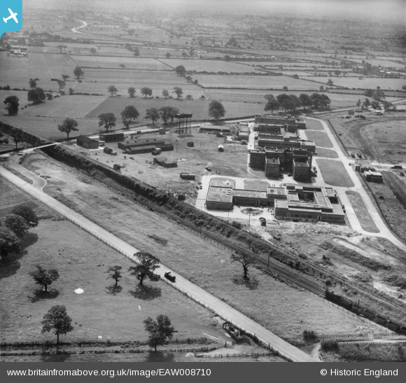
EAW008710 ENGLAND (1947). The Thornton Research Centre, Stanlow, 1947
© Copyright OpenStreetMap contributors and licensed by the OpenStreetMap Foundation. 2026. Cartography is licensed as CC BY-SA.
Nearby Images (7)
EAW008710

EAW008709

EAW008712

EAW008713

EAW008707

EAW008708

EAW008691

Details
| Title | [EAW008710] The Thornton Research Centre, Stanlow, 1947 |
| Reference | EAW008710 |
| Date | 1-August-1947 |
| Link | |
| Place name | STANLOW |
| Parish | |
| District | |
| Country | ENGLAND |
| Easting / Northing | 344926, 375644 |
| Longitude / Latitude | -2.8259861555231, 53.274640010277 |
| National Grid Reference | SJ449756 |
Pins

Matt Aldred edob.mattaldred.com |
Friday 17th of March 2023 01:49:13 PM | |

MB |
Saturday 16th of November 2013 04:23:09 PM | |
|
MB |
Saturday 16th of November 2013 04:22:41 PM | |
|
MB |
Saturday 16th of November 2013 04:21:43 PM |