
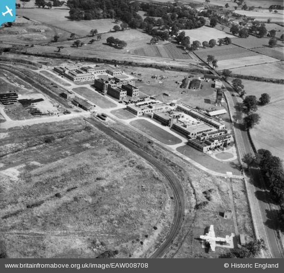
EAW008708 ENGLAND (1947). The Thornton Research Centre, Stanlow, 1947
© Copyright OpenStreetMap contributors and licensed by the OpenStreetMap Foundation. 2026. Cartography is licensed as CC BY-SA.
Nearby Images (7)
EAW008708

EAW008709

EAW008707

EAW008712

EAW008710

EAW008691

EAW008713

Details
| Title | [EAW008708] The Thornton Research Centre, Stanlow, 1947 |
| Reference | EAW008708 |
| Date | 1-August-1947 |
| Link | |
| Place name | STANLOW |
| Parish | |
| District | |
| Country | ENGLAND |
| Easting / Northing | 344875, 375675 |
| Longitude / Latitude | -2.8267563305675, 53.274913365212 |
| National Grid Reference | SJ449757 |
Pins

DonsideGeek |
Saturday 22nd of February 2014 11:03:36 AM |