
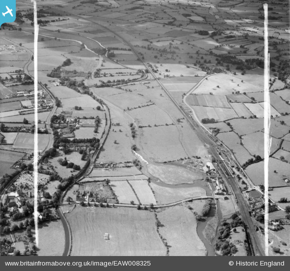
EAW008325 ENGLAND (1947). The River Trent and the Trent and Mersey Canal, Rugeley, from the south-east, 1947. This image was marked by Aerofilms Ltd for photo editing.
© Copyright OpenStreetMap contributors and licensed by the OpenStreetMap Foundation. 2026. Cartography is licensed as CC BY-SA.
Nearby Images (5)
EAW008325

EAW008326

EAW008324

EPW020042

EAW008323

Details
| Title | [EAW008325] The River Trent and the Trent and Mersey Canal, Rugeley, from the south-east, 1947. This image was marked by Aerofilms Ltd for photo editing. |
| Reference | EAW008325 |
| Date | 20-July-1947 |
| Link | |
| Place name | RUGELEY |
| Parish | RUGELEY |
| District | |
| Country | ENGLAND |
| Easting / Northing | 404654, 318860 |
| Longitude / Latitude | -1.9310156985274, 52.766981832641 |
| National Grid Reference | SK047189 |
Pins

Beetlecrusher |
Sunday 14th of October 2018 08:53:52 PM | |
|
Yvonne |
Friday 9th of January 2015 06:02:05 PM | |
|
Yvonne |
Friday 9th of January 2015 06:01:16 PM | |
|
Yvonne |
Friday 9th of January 2015 05:59:47 PM |