
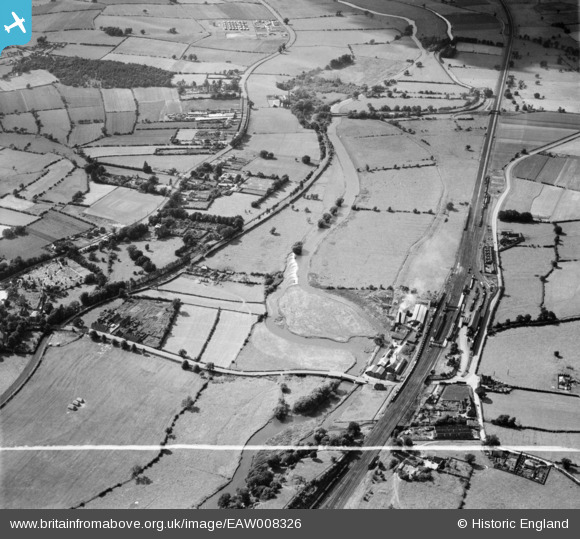
EAW008326 ENGLAND (1947). The River Trent and the Trent and Mersey Canal, Rugeley, from the south-east, 1947. This image was marked by Aerofilms Ltd for photo editing.
© Copyright OpenStreetMap contributors and licensed by the OpenStreetMap Foundation. 2026. Cartography is licensed as CC BY-SA.
Nearby Images (2)
EAW008326

EAW008325

Details
| Title | [EAW008326] The River Trent and the Trent and Mersey Canal, Rugeley, from the south-east, 1947. This image was marked by Aerofilms Ltd for photo editing. |
| Reference | EAW008326 |
| Date | 20-July-1947 |
| Link | |
| Place name | RUGELEY |
| Parish | RUGELEY |
| District | |
| Country | ENGLAND |
| Easting / Northing | 404814, 318857 |
| Longitude / Latitude | -1.9286441313045, 52.766953458301 |
| National Grid Reference | SK048189 |
Pins
Be the first to add a comment to this image!