
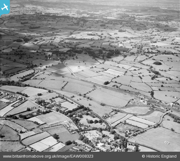
EAW008323 ENGLAND (1947). The River Trent and the Trent and Mersey Canal, Rugeley, from the south, 1947
© Copyright OpenStreetMap contributors and licensed by the OpenStreetMap Foundation. 2026. Cartography is licensed as CC BY-SA.
Nearby Images (3)
EAW008323

EAW008324

EAW008325

Details
| Title | [EAW008323] The River Trent and the Trent and Mersey Canal, Rugeley, from the south, 1947 |
| Reference | EAW008323 |
| Date | 20-July-1947 |
| Link | |
| Place name | RUGELEY |
| Parish | RUGELEY |
| District | |
| Country | ENGLAND |
| Easting / Northing | 404411, 318989 |
| Longitude / Latitude | -1.9346158462644, 52.768143655038 |
| National Grid Reference | SK044190 |
Pins

Yvonne |
Friday 9th of January 2015 05:57:53 PM |