
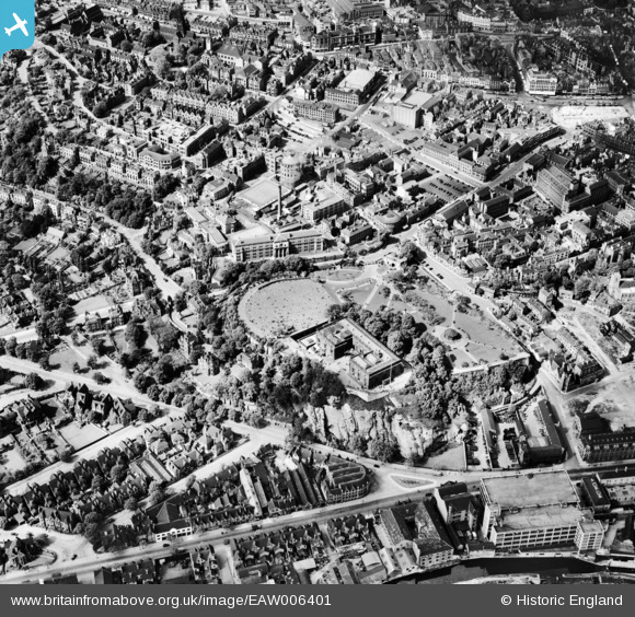
EAW006401 ENGLAND (1947). The site of Nottingham Castle and the city centre, Nottingham, 1947
© Copyright OpenStreetMap contributors and licensed by the OpenStreetMap Foundation. 2026. Cartography is licensed as CC BY-SA.
Nearby Images (20)
EAW006401

EAW006398

EAW006397

EPW012557

EAW021701

EPW054987

EPW038632

EPW038629

EAW006400

EAW050485

EAW006395

EAW006399

EAW042518

EPW013012

EAW006396

EAW044654

EAW025937

EPW019376

EAW050484

EPW038048

Details
| Title | [EAW006401] The site of Nottingham Castle and the city centre, Nottingham, 1947 |
| Reference | EAW006401 |
| Date | 27-May-1947 |
| Link | |
| Place name | NOTTINGHAM |
| Parish | |
| District | |
| Country | ENGLAND |
| Easting / Northing | 456882, 339535 |
| Longitude / Latitude | -1.1533016385063, 52.949863241759 |
| National Grid Reference | SK569395 |
Pins
Be the first to add a comment to this image!