
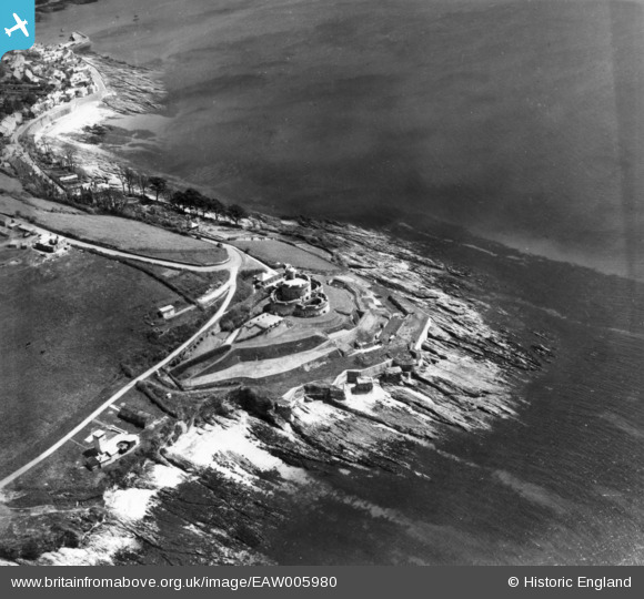
EAW005980 ENGLAND (1947). St Mawes Castle and Castle Point, St Mawes, 1947. This image has been produced from a print.
© Copyright OpenStreetMap contributors and licensed by the OpenStreetMap Foundation. 2026. Cartography is licensed as CC BY-SA.
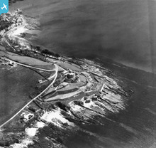
Nearby Images (7)
EAW005980

EAW005982

EAW005984

EAW014984

EAW005981

EAW014985

EAW005983

Details
| Title | [EAW005980] St Mawes Castle and Castle Point, St Mawes, 1947. This image has been produced from a print. |
| Reference | EAW005980 |
| Date | 18-May-1947 |
| Link | |
| Place name | ST MAWES |
| Parish | ST. JUST-IN-ROSELAND |
| District | |
| Country | ENGLAND |
| Easting / Northing | 184120, 32747 |
| Longitude / Latitude | -5.0225142099923, 50.154779830254 |
| National Grid Reference | SW841327 |
Pins

redmist |
Monday 29th of August 2022 06:39:45 PM | |
|
redmist |
Monday 29th of August 2022 06:38:51 PM | |
|
redmist |
Monday 29th of August 2022 06:38:05 PM | |
|
redmist |
Wednesday 25th of November 2020 01:55:33 PM | |
|
cptpies |
Wednesday 1st of October 2014 08:27:35 AM |
User Comment Contributions
Emergency battery and CASL's at St Mawes Castle |
cptpies |
Wednesday 1st of October 2014 08:29:11 AM |