
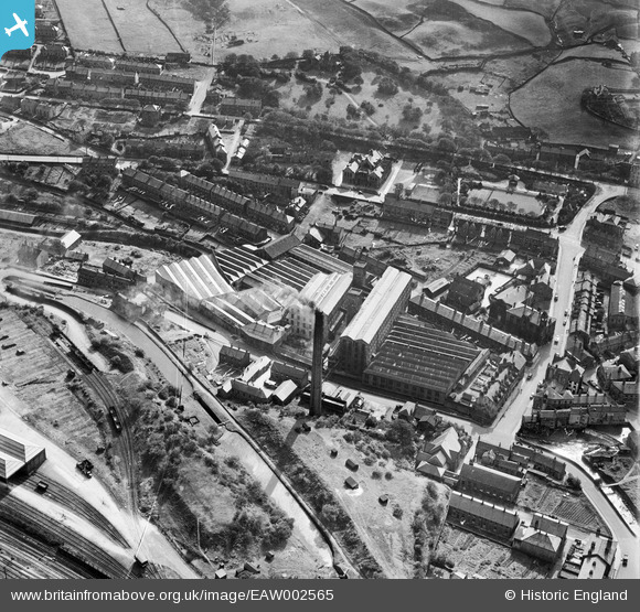
EAW002565 ENGLAND (1946). New Mills (Woollen), Marsden, 1946
© Copyright OpenStreetMap contributors and licensed by the OpenStreetMap Foundation. 2026. Cartography is licensed as CC BY-SA.
Nearby Images (9)
EAW002565
, Marsden, 1946")
EAW002561
 and environs, Marsden, 1946")
EAW002555
 and the village, Marsden, 1946")
EAW002562
 and environs, Marsden, 1946")
EAW002554
 and the village, Marsden, from the north-east, 1946")
EPW016152

EAW002563
 and environs, Marsden, 1946")
EPW016154

EPW016153

Details
| Title | [EAW002565] New Mills (Woollen), Marsden, 1946 |
| Reference | EAW002565 |
| Date | 16-September-1946 |
| Link | |
| Place name | MARSDEN |
| Parish | |
| District | |
| Country | ENGLAND |
| Easting / Northing | 405021, 411687 |
| Longitude / Latitude | -1.9241169548733, 53.601486891089 |
| National Grid Reference | SE050117 |
Pins

redmist |
Monday 18th of November 2019 08:34:36 PM | |
|
redmist |
Monday 18th of November 2019 08:33:20 PM | |
|
redmist |
Monday 18th of November 2019 08:32:59 PM | |
|
redmist |
Monday 18th of November 2019 08:32:42 PM |