
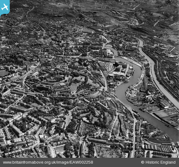
EAW002258 ENGLAND (1946). Brandon Hill, Canon's Marsh and the city, Bristol, 1946
© Copyright OpenStreetMap contributors and licensed by the OpenStreetMap Foundation. 2026. Cartography is licensed as CC BY-SA.
Nearby Images (26)
EAW002258

EAW000703

EAW000699

EAW000698

EAW000704

EAW000702

EAW002260

EPW001269

EPW005449

EPW005447

EAW000701

EAW000705

EPW005450

EPW005451

EPW005452

EPW005448

EAW000700

EAW002261

EAW002048

EAW052874

EAW052884

EAW050556

EAW002262

EAW002045

EAW033321

EPW033502

Details
| Title | [EAW002258] Brandon Hill, Canon's Marsh and the city, Bristol, 1946 |
| Reference | EAW002258 |
| Date | 18-August-1946 |
| Link | |
| Place name | BRISTOL |
| Parish | |
| District | |
| Country | ENGLAND |
| Easting / Northing | 358023, 172700 |
| Longitude / Latitude | -2.6041609142774, 51.451237015627 |
| National Grid Reference | ST580727 |
Pins
Be the first to add a comment to this image!