
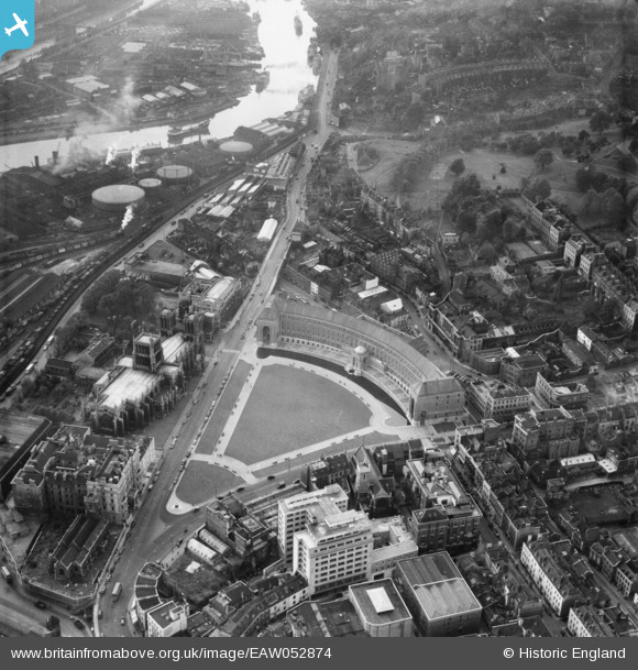
EAW052874 ENGLAND (1953). City Hall, the Cathedral Church of The Holy and Undivided Trinity and environs, Bristol, 1953
© Copyright OpenStreetMap contributors and licensed by the OpenStreetMap Foundation. 2026. Cartography is licensed as CC BY-SA.
Nearby Images (27)
EAW052874

EAW052884

EPW012017

EAW052883

EAW052885

EAW050556

EPW005448

EPW005452

EPW005462

EPW005472

EPW005473

EPW005450

EPW005451

EPW005447

EPW005449

EPW008828

EAW002262

EAW002259

EAW002045

EAW002046

EPR000106

EPW033502

EAW002258

EAW002048

EAW000703

EAW000705

EAW000700

Details
| Title | [EAW052874] City Hall, the Cathedral Church of The Holy and Undivided Trinity and environs, Bristol, 1953 |
| Reference | EAW052874 |
| Date | 16-October-1953 |
| Link | |
| Place name | BRISTOL |
| Parish | |
| District | |
| Country | ENGLAND |
| Easting / Northing | 358265, 172749 |
| Longitude / Latitude | -2.600683877966, 51.451695522337 |
| National Grid Reference | ST583727 |
Pins
Be the first to add a comment to this image!
User Comment Contributions
In 1953 this was the Council House. City Hall is a misguided attempt to gentrify a name instigated by the Mayor in about 2011 - for no good reason. I wonder who renamed this image which must originally have been described as showing 'the Council House - and why? |

adfbristol |
Saturday 12th of March 2016 12:43:58 AM |