
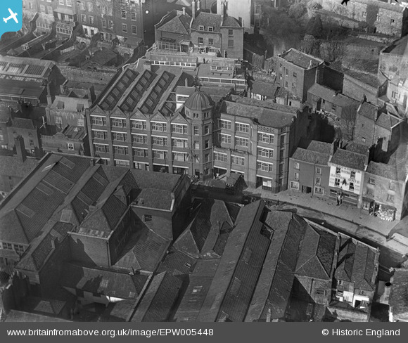
EPW005448 ENGLAND (1921). Fry's building on St George's Road, Bristol, 1921
© Copyright OpenStreetMap contributors and licensed by the OpenStreetMap Foundation. 2026. Cartography is licensed as CC BY-SA.
Nearby Images (32)
EPW005448

EPW005452

EPW005450

EPW005451

EPW005447

EPW005449

EAW052874

EAW052884

EAW050556

EAW002258

EAW000703

EPW012017

EAW052883

EAW000699

EAW052885

EAW002262

EAW000698

EPW005462

EAW000704

EPW005472

EAW002259

EPW005473

EAW000705

EAW000702

EPW008828

EAW002045

EAW000701

EAW002260

EPW001269

EPW022275

EAW000700

EAW002261

Details
| Title | [EPW005448] Fry's building on St George's Road, Bristol, 1921 |
| Reference | EPW005448 |
| Date | 20-March-1921 |
| Link | |
| Place name | BRISTOL |
| Parish | |
| District | |
| Country | ENGLAND |
| Easting / Northing | 358146, 172764 |
| Longitude / Latitude | -2.6023982957682, 51.451821617044 |
| National Grid Reference | ST581728 |
Pins

Billy Turner |
Wednesday 12th of September 2018 10:01:53 PM | |

Class31 |
Wednesday 10th of October 2012 07:57:46 PM | |
|
Class31 |
Monday 8th of October 2012 08:06:54 PM | |
|
Class31 |
Monday 8th of October 2012 08:04:27 PM |
