
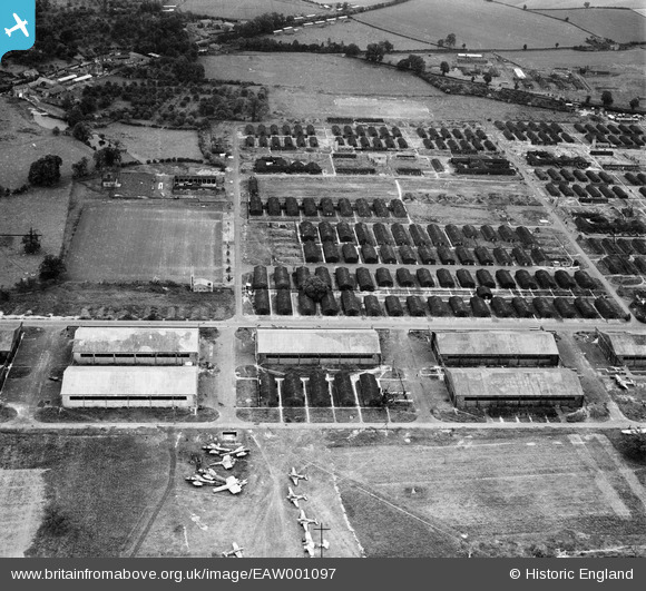
EAW001097 ENGLAND (1946). RAF Hereford (Credenhill), Credenhill, 1946
© Copyright OpenStreetMap contributors and licensed by the OpenStreetMap Foundation. 2026. Cartography is licensed as CC BY-SA.
Nearby Images (10)
EAW001097
, Credenhill, 1946")
EAW001101
, Credenhill, 1946")
EAW001096
, Credenhill, 1946")
EAW001104
, Credenhill, 1946")
EAW001100
, Credenhill, 1946")
EAW001098
, Credenhill, 1946")
EAW001103
, Credenhill, 1946")
EAW001099
, Credenhill, 1946")
EAW001105
, Credenhill, 1946")
EAW001102
, Credenhill, 1946")
Details
| Title | [EAW001097] RAF Hereford (Credenhill), Credenhill, 1946 |
| Reference | EAW001097 |
| Date | 16-June-1946 |
| Link | |
| Place name | CREDENHILL |
| Parish | CREDENHILL |
| District | |
| Country | ENGLAND |
| Easting / Northing | 345368, 243072 |
| Longitude / Latitude | -2.7973547583458, 52.082888567787 |
| National Grid Reference | SO454431 |
Pins

Allan907 |
Sunday 30th of November 2014 07:10:32 AM | |
|
Allan907 |
Sunday 30th of November 2014 07:08:51 AM | |
|
Al |
Tuesday 4th of November 2014 11:36:37 PM | |
|
Two Westies |
Thursday 4th of September 2014 08:28:13 PM | |
|
Two Westies |
Thursday 4th of September 2014 08:26:39 PM | |
|
Two Westies |
Thursday 4th of September 2014 08:25:48 PM | |
|
Two Westies |
Thursday 4th of September 2014 08:24:05 PM | |
|
MB |
Thursday 27th of March 2014 08:59:50 AM | |
|
MB |
Thursday 27th of March 2014 08:58:45 AM | |
|
Brightonboy |
Thursday 27th of March 2014 06:54:19 AM |
User Comment Contributions

RAF Hereford (Credenhill), Credenhill, 1946 |
Hollybush |
Saturday 24th of August 2013 11:10:58 AM |