
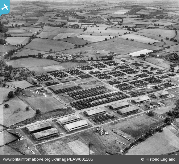
EAW001105 ENGLAND (1946). RAF Hereford (Credenhill), Credenhill, 1946
© Copyright OpenStreetMap contributors and licensed by the OpenStreetMap Foundation. 2026. Cartography is licensed as CC BY-SA.
Nearby Images (10)
EAW001105
, Credenhill, 1946")
EAW001102
, Credenhill, 1946")
EAW001099
, Credenhill, 1946")
EAW001103
, Credenhill, 1946")
EAW001104
, Credenhill, 1946")
EAW001100
, Credenhill, 1946")
EAW001101
, Credenhill, 1946")
EAW001096
, Credenhill, 1946")
EAW001097
, Credenhill, 1946")
EAW001095
, Credenhill, 1946")
Details
| Title | [EAW001105] RAF Hereford (Credenhill), Credenhill, 1946 |
| Reference | EAW001105 |
| Date | 16-June-1946 |
| Link | |
| Place name | CREDENHILL |
| Parish | CREDENHILL |
| District | |
| Country | ENGLAND |
| Easting / Northing | 345533, 243264 |
| Longitude / Latitude | -2.7949775048308, 52.084631054103 |
| National Grid Reference | SO455433 |
Pins

ken |
Thursday 12th of November 2015 11:51:04 AM | |
|
Two Westies |
Thursday 4th of September 2014 08:38:37 PM | |
|
Martin D |
Saturday 26th of April 2014 01:05:22 AM | |
|
Martin D |
Saturday 26th of April 2014 01:04:15 AM | |
|
Brightonboy |
Tuesday 7th of January 2014 08:48:08 AM | |
|
Al |
Monday 6th of January 2014 05:29:38 PM | |
|
Al |
Monday 6th of January 2014 05:29:19 PM | |
|
Al |
Monday 6th of January 2014 05:26:52 PM | |
Wellingtons see http://www.britainfromabove.org.uk/image/eaw001098 |
Al |
Monday 6th of January 2014 05:36:13 PM |
|
Al |
Monday 6th of January 2014 05:25:34 PM | |
I think they are Airspeed Oxfords, not Ansons. |
Two Westies |
Thursday 4th of September 2014 08:37:29 PM |
|
Al |
Monday 6th of January 2014 05:25:08 PM |
