
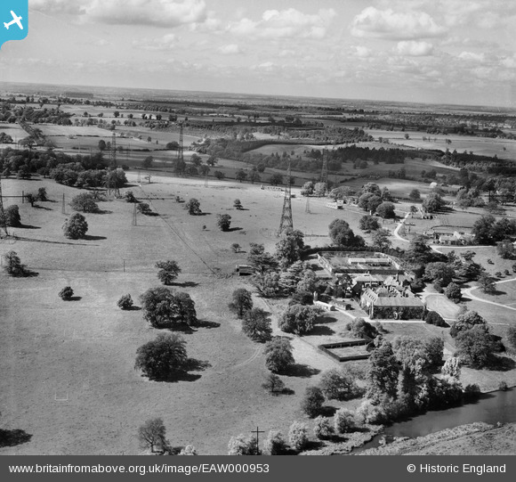
EAW000953 ENGLAND (1946). Chicksands Priory at RAF Chicksands and environs, Chicksands, from the south-east, 1946
© Copyright OpenStreetMap contributors and licensed by the OpenStreetMap Foundation. 2026. Cartography is licensed as CC BY-SA.
Nearby Images (6)
EAW000953

EAW050918

EAW050917

EAW000957

EAW000958

EAW000961

Details
| Title | [EAW000953] Chicksands Priory at RAF Chicksands and environs, Chicksands, from the south-east, 1946 |
| Reference | EAW000953 |
| Date | 28-May-1946 |
| Link | |
| Place name | CHICKSANDS |
| Parish | CAMPTON AND CHICKSANDS |
| District | |
| Country | ENGLAND |
| Easting / Northing | 512072, 239223 |
| Longitude / Latitude | -0.36584568509301, 52.039644630149 |
| National Grid Reference | TL121392 |
Pins

melgibbs |
Monday 6th of October 2014 10:28:22 AM | |
|
melgibbs |
Saturday 24th of August 2013 09:33:17 AM | |
Noted for housing the R100 and the R101 airships. Used during WW2 for training barrage balloon operators and kitting out RAF trainees. |

John W |
Friday 23rd of December 2016 09:42:16 PM |
User Comment Contributions
RAF Chicksands was one of the "Y Stations" during WW2 intercepting enemy radio messages and passing them on to Bletchley Park. |
melgibbs |
Thursday 26th of February 2015 06:21:31 PM |
For more history on the Chicksands base, visit http://en.wikipedia.org/wiki/RAF_Chicksands. |
melgibbs |
Saturday 24th of August 2013 09:37:44 AM |